Anggrek becomes our second cyclone of the season, with another to follow within days
A second cyclone is set to enter Australian waters, with another expected to develop in days.
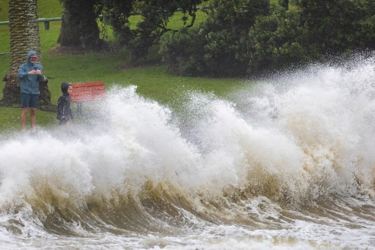
People watch as waves crash against a sea wall(AP Photo: NZ Herald/Brett Phibbs)
Tropical Cyclone Anggrek is expected to become a category two system on Wednesday after forming in the Indian Ocean, about 4000km off Western Australia’s coast.
Anggrek is set to enter Australian waters this week as it tracks south.
“It is highly unlikely to have any impact on mainland Australia but gale force winds could be felt in the Cocos Islands,” the Bureau of Meteorology said.
Anggrek has emerged just weeks after Cyclone Jasper devastated Queensland’s far north.
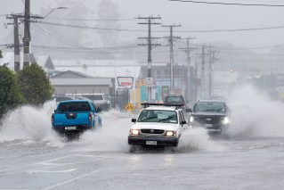
The region is still recovering from record flooding caused by Jasper, with rain hampering progress.
The massive recovery effort may be again hindered with another cyclone set to form off the far north.
A tropical low that has developed off Cairns is set to strengthen into a cyclone by Sunday.
While it is expected to remain off shore this week, the system is a chance of tracking back toward Queensland’s far north next week as a cyclone.
Wet weather may have delayed recovery work but some progress is being made at one of the worst hit areas north of Cairns, with temporary housing on the way for flood-hit Degarra.
Douglas Shire Mayor Michael Kerr on Monday said Degarra residents were at breaking point after caravans sent by the Queensland government were set up three hours away from displaced locals, describing it as “ludicrous”.
A day later Mr Kerr said “common sense has prevailed” with the state government assuring the council that caravans would be placed in Degarra.
“It’s better late than never but I hope decision makers learn from this, and in the future mobilise help far more quickly and appropriately,” Mr Kerr said.
“We are grateful to everyone working hard in this recovery effort and expect at least 30 more caravans to arrive by barge in coming weeks”.
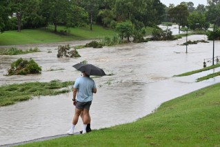
Showers are set to continue not only in the far north but across Australia on Wednesday with a band of rain and embedded storms set to impact southeastern states.
“Widespread wet weather is expected around Tasmania, Victoria, NSW, ACT as well as parts of southern Queensland,” a bureau spokesman said.
The heaviest falls are set to impact northeastern Victoria and southern NSW along the Hume Highway, potentially putting people driving between Melbourne and Sydney at risk.
Severe thunderstorms are likely for central and northern Victoria as well as northern Tasmania.