Exposed: Flooded roads get their time on camera
Motorists fearing for their safety during big rain events can log onto a website that will be awash with images of flooded roads.

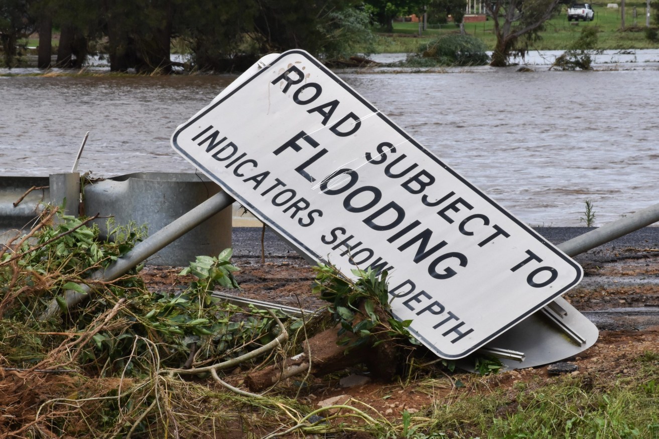
The north west has been inundated (AAP Image/Murray McCloskey)
Fifty flood monitoring cameras have been installed in 17 local government areas, giving motorists the chance to see flood conditions unfold in real-time with a simple click.
The images will be displayed on the QLDTraffic website, which last year was visited about six million times, while the app was downloaded onto more than 160,000 devices.
Recent technical upgrades to the website now allow for those using the site to share images of flood affected roads.
Transport and Main Roads Minister Mark Bailey said the cameras covered areas from northern to southern Queensland.
“Making these images publicly available provides additional, timely information to communities and travellers during severe weather conditions, allowing them to make safer, more informed travel decisions,” he said.
“This innovative and creative use of existing infrastructure is another example of how we can help communities stay safe and informed during disaster and weather events.”


