Weekend storms bring ‘best falls in a decade’ to cattle properties in west
A wet weekend in outback Queensland has seen three neighbouring cattle stations receiving more than 100mm of rain in a day, and more is yet to come.

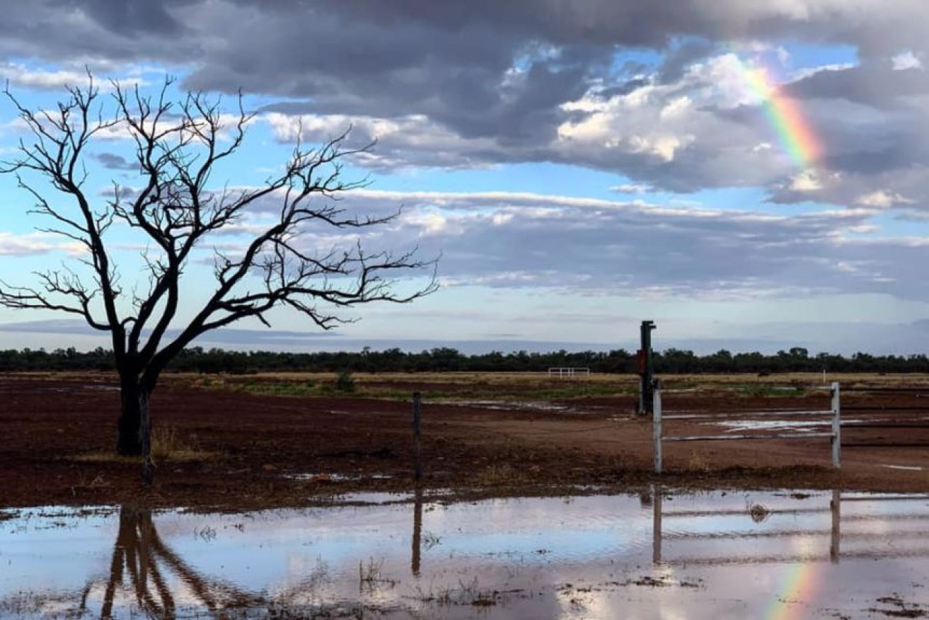
Boulia received rain the weekend event with a rainbow peeking through towards the end.(Supplied: Taylor Walsh-Jones)
One station has had its wettest day in 10 years after a storm cell swept through the area dumping 128 millimetres on the weekend. Noonbah Station, about 130km southwest of Longreach, reported the highest total for the weekend, with both its neighbours also receiving 100mm.
“We were driving home and just driving into this wall of blue and black full of lightning,” said owner Angus Emmott.
“We’ve got a large hose dam here, and this is the first time the back water on the house dam has by-washed.”
Emmott said the time of year was the most surprising part of the deluge with September known for its small storms.
“You get storms in September but we’ve looked back 10 years and it’s the largest single fall in over 10 years,” he said. “We had quite a lot of rain through the winter [in 2016], it was starting to thin out by spring, but not a huge dump just in one fall.”
Bureau of Meteorology forecaster Rosa Hoff said most regions who received the weekend rain and storms saw between 10-20mm, but some areas saw much heavier falls.
“Down at Vergemont Creek was certainly the real rainfall winner this weekend. They picked up 74mm late on Friday and then another 51mm on Saturday,” Hoff said.
“A number of other notable places — Barcaldine picked up 44mm across the weekend, Stonehenge 77mm, and Bolera 50.8mm.
“At Mount Isa it was a 16.6mm and at Longreach 20mm.”
Hoff said while the rainfall totals were high for September, they did not compare to 2016 totals when a number of records were set.
Week ahead
Hoff said the charts are “fairly dynamic” looking into the next week. “In recent days we have had a vigorous trough system move through western Queensland and yesterday was a little bit of a lull. However, a new cold front is approaching from the south-west,” Hoff said.
“It’s really going to re-invigorate that shower and storm activity we saw over the weekend, and we can expect these falls to be continuing through our day today with some showers and thunderstorms on the forecast, and then we’ve got a chance [of it] hanging around all the way through until Wednesday.”
Hoff said that rain will be from the Gulf country to the New South Wales border, with the Channel Country set to see some activity today.
“Certainly for north-est, central west, and all the way down to … Charleville and Roma, they will continue to have a chance of showers and thunderstorms all the way through until Wednesday,” she said.
– ABC / Eric Barker and Kelly Butterworth


