Water torture: After days waiting for Kirrily to cross coast, residents hope for the best
North Queensland is bracing for impact after Tropical Cyclone Kirrily intensified as it moved closer to the coast.
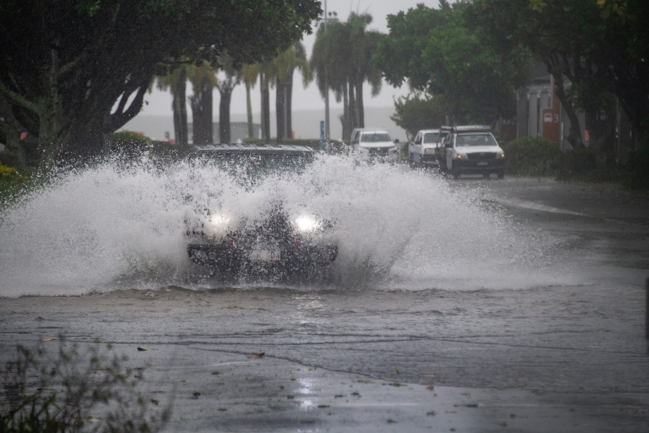
Cars drive through water at the Cairns Esplanade in Cairns, Thursday, December 14, 2023. People in Tropical Cyclone Jasper's destructive path have been warned they are still not safe despite the system weakening in far north Queensland. (AAP Image/Brian Cassey)
The Bureau of Meteorology upgraded Cyclone Kirrily to a category two system at 10am AEST on Thursday, warning it would soon bring damaging winds and widespread flooding.
“We’re prepared and ready for the worst, now we wait and hope for the best,” Premier Steven Miles said.
Kirrily is set to cross the coast as a category two cyclone on Thursday night between Ingham and Ayr, most likely around Townsville.
Evacuation centres are already taking in people in north Queensland while Townsville airport will be closed on Thursday along with more than 120 schools.
Interstate crews have bolstered emergency services teams, joining extra police and energy personnel on standby across the north.
State disaster co-ordinator Deputy Commissioner Shane Chelepy said more than 40,000 sandbags had already been deployed.
“We are ready,” he said.
Mr Miles has pre-emptively declared a disaster and requested federal and state assistance, including Australian Defence Force support.
The SES have already received almost 150 calls for assistance.
Gusts of 140km/h are forecast between Ayr and Bowen, extending north to Ingham and including Townsville.
“We are starting to experience the strong winds and rain as well,” Whitsunday Mayor Julie Hall told AAP.
“As we progress toward this evening we expect the wind to pick up and also the wet weather as well.”
Ms Hall said 6000 sandbags have been distributed to residents, a new community record.
“So that tells you that our community is taking this seriously.”
The bureau warned a category two system could produce winds strong enough to damage homes as well as bring down trees and power lines.
“It’s not just the winds but is also the flooding that we want people to be aware of,” the bureau’s Laura Boekel said.
The approaching cyclone is set to trigger a storm tide between Townsville and Mackay, producing larger waves and flooding.
Intense rainfall that may lead to “life threatening and dangerous flash flooding” will be at the centre of the system.
There may be isolated totals of up to 300mm in 24 hours as it crosses the coast, the bureau warned.
“We can also see rainfall associated with this system once it has crossed the coast and it will continue to bring rainfall even when it becomes downgraded,” Ms Boekel said.
“So we are encouraging all Queenslanders … to be across the forecast for this weekend, noting that the system brings a large amount of rainfall.”
The bureau will issue alerts every hour until Cyclone Kirrily crosses the coast.
After it makes landfall, the system will weaken to a tropical low and move inland, bringing heavy rain to central and western Queensland from Friday.
It is also set to have an indirect impact on the state’s south.
“We could see showers and storms across the south of the state, producing more rainfall than usual because of the system in the north,” Ms Boekel said.
Kirrily is the second cyclone to threaten Queensland in a month, with Jasper – also a category two system – causing record flooding that devastated the far north in December.