How Freddy became Gabriel (or Herman), then vanished into the blue Pacific
A tropical low off Queensland’s coast is expected to strengthen into a cyclone before the weekend but unlikely to make landfall, according to the Bureau of Meteorology. And because of a twist of fate it will change its name, into the bargain.
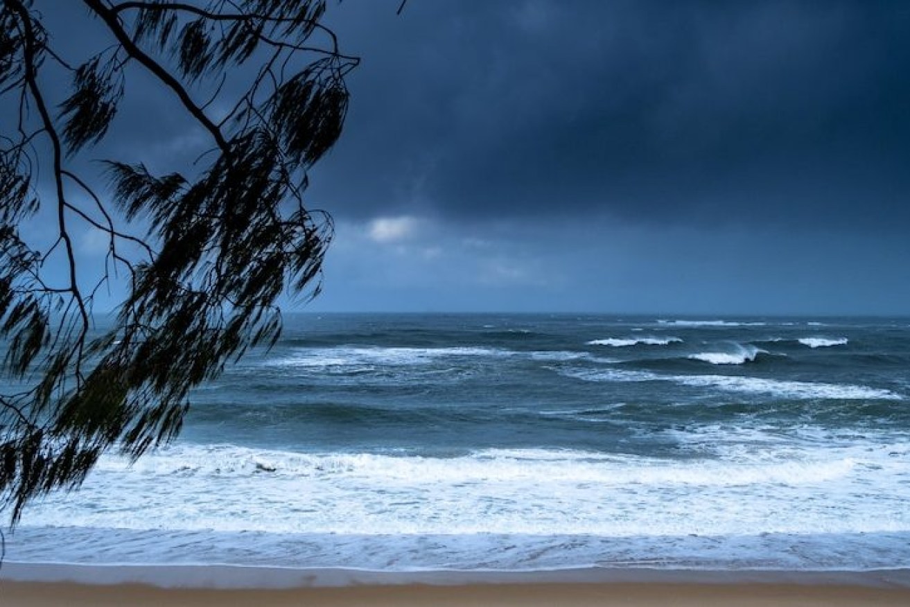
Parts of the Queensland coast could begin seeing the effects of Cyclone Jasper by the weekend.(ABC News: Michael Lloyd)
The weather system in the Coral Sea, first named Freddy but now known as Gabriel, is expected to become a severe category three cyclone late on Thursday, bringing strong and gusty coastal winds.
“It does have a high chance of turning into a category 1 tropical cyclone either Wednesday night or early Thursday morning,” said BOM senior meteorologist Harry Clark.
Clark said there is “reasonable confidence” the system will recurve away from the Queensland coast, moving more towards Norfolk Island and eventually in the direction of New Zealand.
But he said Queensland is still likely to feel the impact of the system as it moves past.
“It is expected to remain off the Queensland coast,” Clark said.
“The main effects will be an increase in winds around coastal waters around Townsville and Sandy Cape, on top of on K’gari (Fraser Island).”
Another tropical low near the Cocos Islands, northwest of WA has a low chance of forming into a cyclone and continues to be monitored. It is likely to claim the name Freddy ahead of the system approaching the Queensland north coast.
Should the weather systems form into tropical cyclones, the next two names on the list are Gabrielle and Herman.
“[It] just depends, if we do see another system in [Western Australia’s] waters develops before ours,” Clark said.
“We will see a large and powerful easterly swell build across the south-east Queensland coastline towards the end of the week, so Thursday, Friday and into [the] early weekend,” he said.
“Certainly, we could not rule out some coastal erosion as a result of that as well.
“We will see a bit of an increase in showers along the Queensland coastline, but no widespread heavy rain predicted out of that system.”
Showers and wave and swell activity are also expected to increase across Queensland’s central coast before extending to southern coastal areas and waters.
Severe weather warnings for surf and swells will be determined by the track and intensity of the tropical cyclone, the bureau said.
Warnings of damaging winds, heavy rain and dangerous seas and swell are in place for Norfolk Island on Saturday and Sunday.
“Particularly Saturday and into Sunday is likely when we could see that tropical cyclone move towards that region,” he said.
“We could see some very large waves in excess of 5 metres across much of the island, but also see wind gusts approaching almost category two strength if it was to cross or come very close to the island.
“We could see some heavy rainfall as well.”
Clark said BOM would keep a “close eye” on the system over the coming days.
– Additional reporting ABC