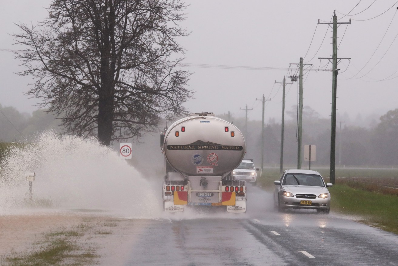
Southern states on new flood watch as storms to bring another drenching
Further heavy rainfall and forecasts for severe storms have NSW on watch for more flooding.

NSW and Victorian are the latest states to be hit hard by disasters and rising insurance costs.. (AAP Image/Jason O'Brien)
Western parts of the state near the South Australian border will be the first in line for a drenching on Tuesday, with clouds streaming through the area on Monday afternoon, Bureau of Meteorology senior meteorologist Jane Golding said.
Severe storms could form and threaten heavy rainfall in a short period of time, which could lead to flash flooding in some areas.
“Storms by their nature, they’re pretty hit and miss so not everywhere,” Golding said on Monday.
Damaging winds up to 90km/h are possible, and with many catchments already saturated gusts could bring down trees quite easily, Ms Golding said.
The Bureau will issue warnings as it monitors developing storms.
Storm season kicks off officially on October 1 in NSW, Golding said, meaning the latest band of storms is not unusual for this time of year, however conditions in the Pacific and Indian oceans, and the recent declaration of a third La Nina system are also influencing the weather.
The South Coast has a wet Wednesday forecast, while Thursday is expected to be the wettest day of the week in Sydney, before showers ease but continue into the weekend.
“Expect showers to continue through to the weekend but not as heavy and widespread as mid-this week,” Golding said.
Major flooding is occurring in central west NSW at Wee Waa and Warren, expected to continue in the coming days.
“The inland catchments certainly are the highest at the moment as this low pressure system winds up,” Golding said.
The Bureau is also monitoring the South Coast.
“That would be the area we’d be most concerned about along the coast in the short term, having said that it’s not looking too bad at the moment,” Golding said.


