Rain brings relief to Fraser firefighters as southeast mops up after storm cell
Overnight rain has brought relief to firefighting efforts on Fraser Island and eased concerns in the Happy Valley community, which has been under threat from major bushfire.

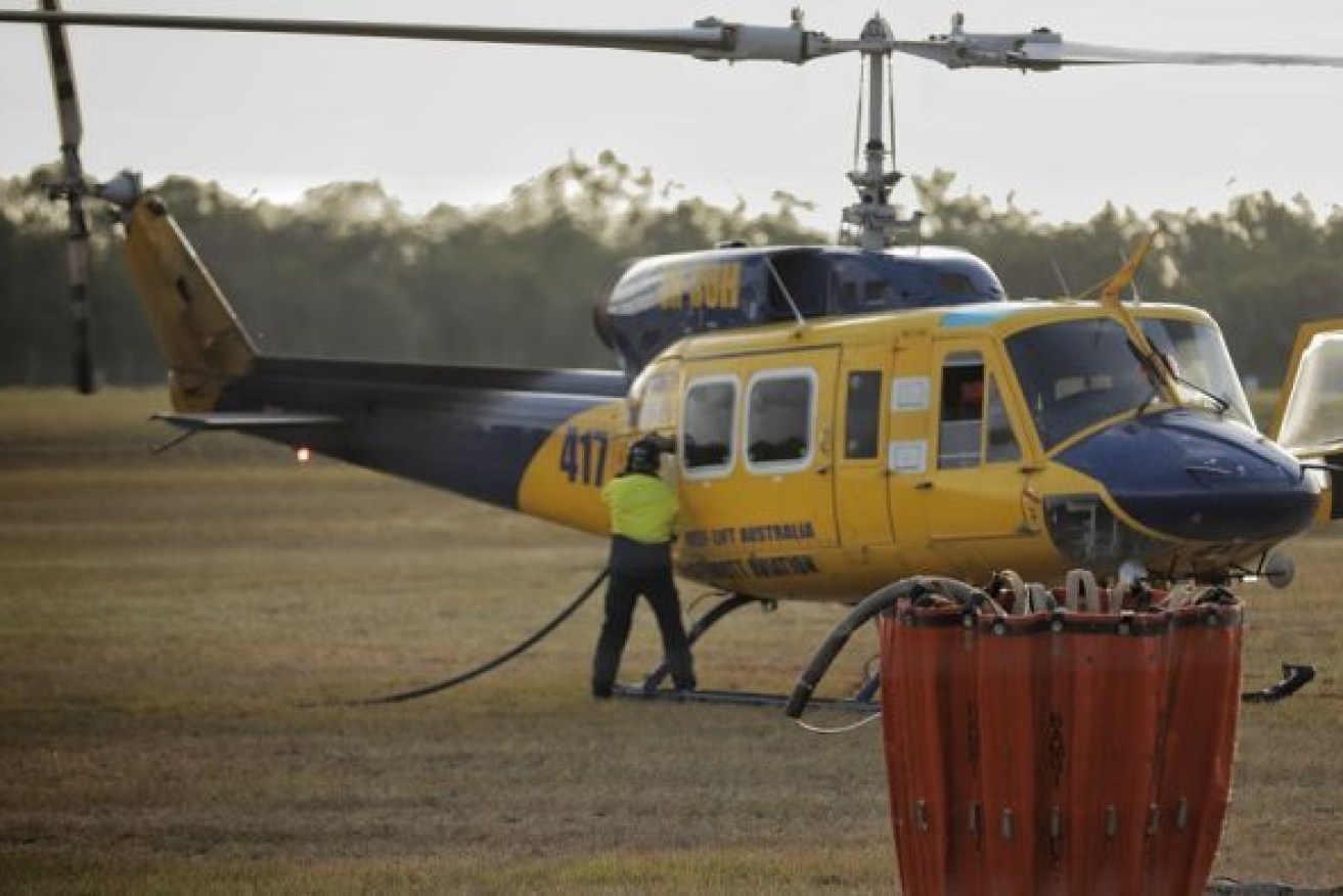
Helilift Australia (McDermott Aviation) water dumping chopper 417 refuels at Hervey Bay Airport to assist with the Fraser Island bushfire. (Photo: ABC)
The blaze, which has been burning for more than seven weeks, has burnt about 50 per cent of the World Heritage-listed island after it was started by an illegal campfire.
The beachside township of Happy Valley was under sustained threat on Monday with emergency alerts issued, advising residents to “leave immediately”.
About 50 permanent residents remained at the township to help battle the blaze.
Firefighters on the island said 25mm of rain fell overnight and had improved conditions.
RFS Volunteer firefighter Russell Postle said the rain followed another “spectacular effort” from firefighting crews in the area around Happy Valley.
“It’s been a very exciting overnight period, we’ve had about an inch of rain overnight in a storm that has wet everything down,” he said.
“Everything went through unscathed, we lost a picnic table I think, but that was about it.”
But today’s drier, windy conditions could present a challenge for firefighting efforts again.
Meteorologist Rosa Hoff with the Bureau of Meteorology (BOM) said the wind direction was expected to change this evening, which could either help firefighters or potentially push flames further east in the direction of Kingfisher Bay Resort.
“The north-to-north easterly wind regime has been acting to push the fire closer to the Happy Valley township,” she said.
“When the trough moves through Tuesday evening, it’ll lead to south-easterly winds.”
BOM senior forecaster Jonty Hall also said conditions could get “tricky” for firefighters on the ground.
“It’s potentially a tricky day again for them, with a trough system that is going to introduce these milder conditions coming through those areas affected by fires,” he said.
“So that will produce some generally fairly erratic winds and possibly a sharp wind change,” he said.
“Conditions will improve from Wednesday onwards, with generally less humid and cooler conditions, and south-easterly winds blowing, so there is light at the end of the tunnel in terms of those fire dangers through that area.”
Moreton Bay region mops up
Meanwhile, residents in the Moreton Bay region north of Brisbane have begun mopping up after a severe storm cell swept through on Monday night, bringing golf-ball-sized hail and power outages to up to 25,000 homes.
Shortly before 3:00pm yesterday, a series of storm cells moved across southeast Queensland, bringing golf-ball-sized hail and damaging winds.
Caboolture and its surrounding areas experienced the heaviest rainfall, with Caboolture recording 101 millimetres and Wamuran reporting 97mm.
There were also falls between 25 and 50mm from the Redcliffe Peninsula, through to Strathpine and Lawnton.
Hall said the storm activity was expected to move north on Tuesday.
“Storms are generally clearing away from the far southeast of the state, but they will continue up towards the Capricornia and Wide Bay areas,” he said.
While humidity has lessened today, heatwave conditions are still expected across much of the state with a cool change not likely until Wednesday.
– ABC / Nibir Khan


