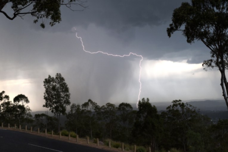
Torrential rain, floods and 18 hours of 100km/h winds, yet the BOM says North has “dodged a bullet”
Gale force winds have lashed Queensland’s northwest as flood-hit regions brace for another drenching from ex-Tropical Cyclone Kirrily.
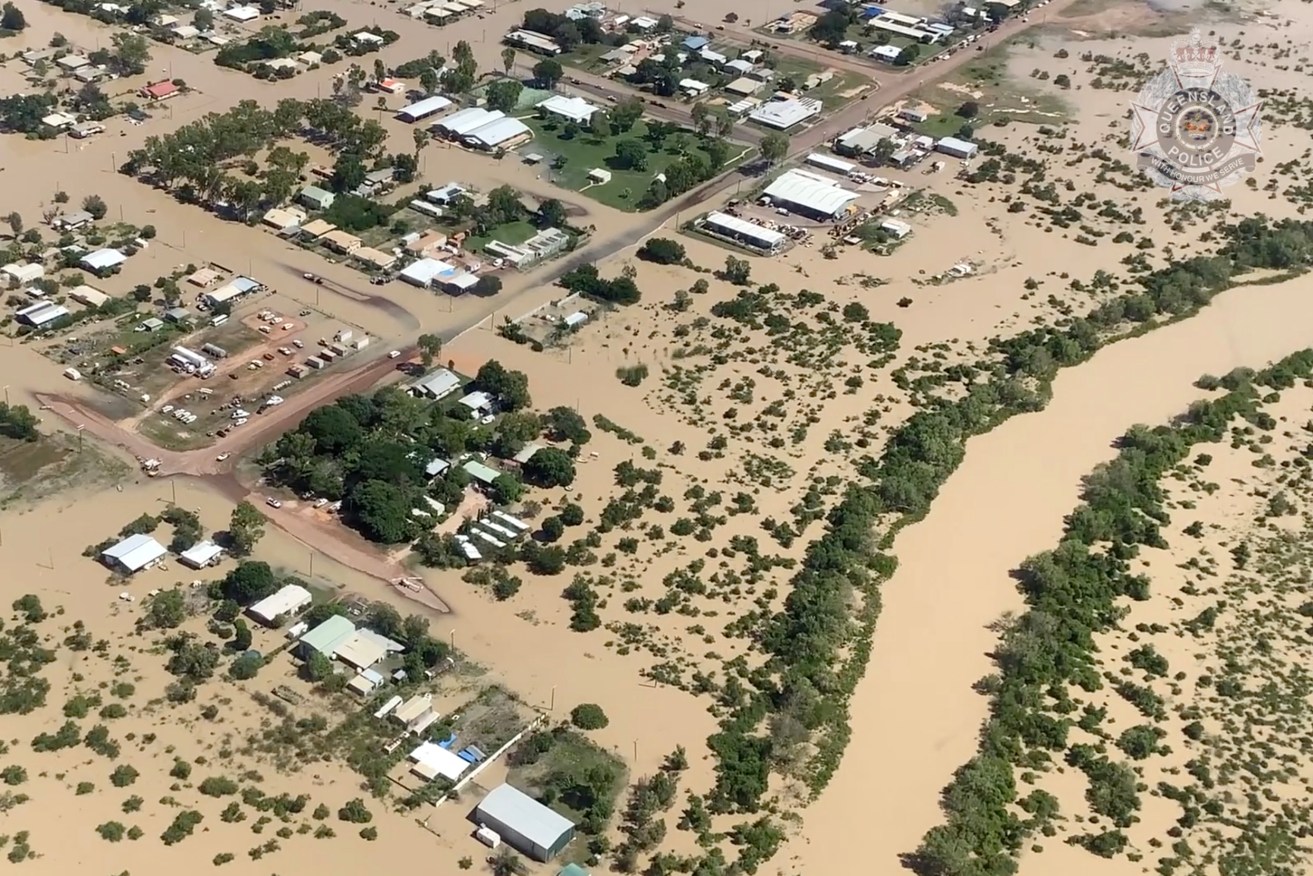
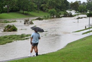
A screenshot of supplied vision of flooding in Burketown Queensland on Saturday, March 11, 2023. A broad swathe of Queensland is being warned about the threat of thunderstorms as the northwest grapples with its worst floods in years. (AAP Image/Supplied by Queensland Police)
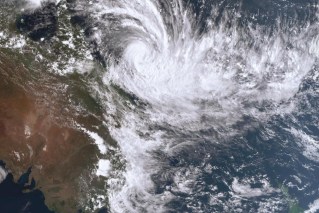
However, the Bureau of Meteorology says the remote communities have “dodged a bullet”, with ex-Kirrily not expected to develop into a cyclone again.
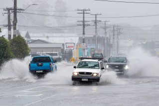
The system has intensified as it lingers near the Gulf of Carpentaria, hammering outback regions with heavy rain and sustained damaging winds.
Most of Mornington Island has lost power after copping the brunt of gales exceeding 100km/hr for 18 hours.
Roads are cut and properties have been inundated as heavy rain continues to fall, with more than 200mm recorded near Burketown.
However, the bureau has ruled out the possibility of ex-Kirrily strengthening into a tropical cyclone again.
“If it was to be 200km further north certainly we would be looking at the potential of that, thankfully it is not so I guess we have dodged a bullet,” a bureau spokesman told AAP.
“But on Mornington Island, it would have felt a bit cyclonic over the last 18 hours regardless of what we call it due to those sustained gale force winds.”
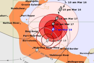
Northwest regions already battling flooding are now preparing for another soaking with Kirrily set to return in the coming days.
The system is expected to start moving south in the next 12 hours, bringing more rain as it tracks along the Queensland-Northern Territory border over the weekend.
“There are already flood warnings out for most of the rivers after its first journey through the northwest, now it is coming back for a second pass,” the bureau spokesman said.
“It’s rainfall on already swollen rivers – it’s not a great combination.”
The northwest’s main roads – the Landsborough and Flinders Highways – have been cut and Mount Isa has been without fresh food for about a week.
Rail networks are affected and graziers impacted, while Kynuna residents were evacuated and the town of McKinlay was isolated after heavy rain earlier this week.
Federal Emergency Management Minister Murray Watt will visit the flood-hit region on Friday amid fears of significant livestock losses.
Hardship payments have already been made available to the northwest’s flood-hit Kynuna and McKinlay.
In the north, Hinchinbrook and Charters Towers’ Hervey Range have also been activated for payments along with the Western Downs town of Warra west of Brisbane.
Councils across the state – Charters Towers, Cloncurry, Lockyer Valley, Townsville and Winton – will also receive financial support after being hit by storm and flood damage.
Assistance will be provided to Palm Island – located off Townsville – to repair damaged roads and bridges caused by Kirrily when it first hit landfall a week ago.
Burke Shire Mayor Ernie Camp said state and federal funding was needed to improve the northwest’s infrastructure, with some communities cut off for months by floods in the past.
“There is a bit of concern that if we don’t have more development of our road infrastructure, especially level crossings, I can see families moving away from the area,” he told AAP.
Meanwhile, yet another tropical cyclone may form off the Queensland coast next week.
A weak low is situated between Rockhampton and New Caledonia in the Coral Sea and is a “10 per cent chance” of developing into a cyclone by Wednesday.
The bureau did not rule out the system tracking back to the Queensland coast after intensifying but added that “pretty much every scenario is possible at this point”.