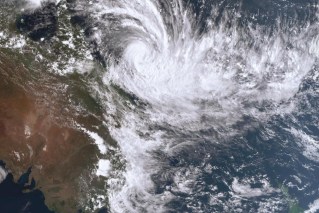
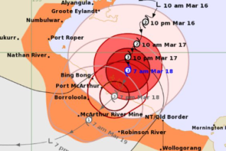
The party guest who won’t go home – even after she’s ruined the carpet and broken the furniture
Ex-Tropical Cyclone Kirrily is not going away any time soon, with more heavy rain set to inundate Queensland’s northwest.
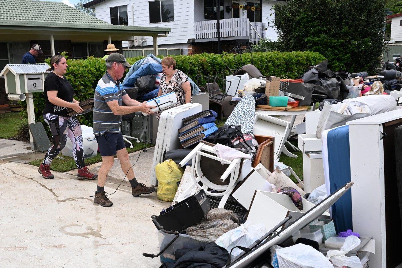
Residents of Federation Drive in the suburb of Bray Park are seen cleaning up their flood damaged properties in Brisbane, Wednesday, January 31, 2024. Heavy rain has lashed an already soaked southeast Queensland, as ex-tropical cyclone Kirrily delivers more wet weather in the state's northwest. (AAP Image/Darren England) NO ARCHIVING
The system is even a “very low” chance of re-intensifying into a cyclone again in the Gulf of Carpentaria.
Ex-Kirrily is near Mount Isa and set to drift toward Gulf Country, days after first impacting the coast near Townsville.
The Bureau of Meteorology said the system may move into the Gulf on Thursday but rated it a less than five per cent chance of forming into a cyclone again.
It is more likely to drift back south by Friday and move through western Queensland, bringing heavy rain.
A severe weather warning is current for the northwest and Gulf Country, with six-hourly falls between 90mm and 150mm likely.
Intense showers may also lead to “life threatening” flash flooding from Thursday morning.
A flood watch is current for central west, Channel Country and Gulf of Carpentaria catchments.
Widespread flooding has ensured the only access road into Mount Isa is via Camooweal with roads from Julia Creek and the Matilda Highway to McKinlay cut off.
“If we need to get food and things it can still come up through South Australia via Camooweal,” Mount Isa Mayor Danielle Slade told AAP.
“There really hasn’t been any impacts to Mount Isa … and as long as we’ve got the Camooweal open.
Cr Slade said emergency services from Mount Isa had been sent to neighbouring shires to assist.
Six days after Kirrily made landfall near Townsville, all 66,000 homes that lost power finally had electricity fully restored on Wednesday.
The focus of recovery efforts has switched to the southeast where hundreds of homes were inundated by floodwaters.
The full extent of damage may soon be revealed with disaster assessments underway across Brisbane’s north as rain finally eased.
However there may be more heavy showers to come after a low formed 250km off the southeast coast on Wednesday.
It is expected to drift northeast into the Coral Sea over the coming days and is a low chance of intensifying into a cyclone early next week.
Forecasters say one model suggested it could form a cyclone and drift back towards the coast late next week.
