Ready or not, here comes Kirrily: Islands whipped by 120km/h winds, torrential rain looms
The first sign of Tropical Cyclone Kirrily is forecast as north Queensland braces for impact.
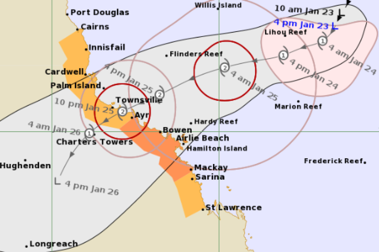
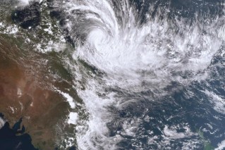
The tropical storm expected to become Cyclone Kirrily moves toward the North Queensland coast. (Image: BOM).
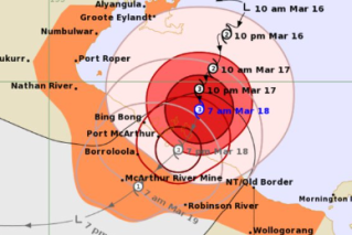
Winds of 120km/h are predicted on Wednesday for the Whitsunday Islands and coastal areas between Townsville and St Lawrence as the cyclone heads toward the coast.
An escalating tropical low over the Coral Sea had been due to become Cyclone Kirrily early on Wednesday morning.It was initially predicted to hit the coast between Cardwell and Airlie Beach on Thursday night as a category 3 system.
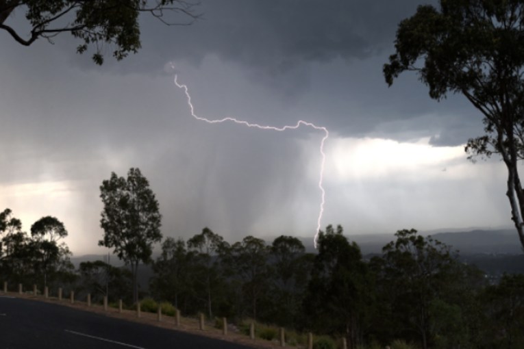
Damaging wind gusts on offshore reefs and islands have been felt already and they are expected to impact the coast in advance of the system’s arrival.
But the Bureau of Meteorology says the system has slowed and could cross the coast as a category 2 between Townsville and Ayr on Thursday night or early on Friday morning.
It is still set to bring destructive winds and “life-threatening” flash flooding.
There is a cyclone warning current between Ayr and Mackay.
“It’s likely to … bring its most intense impacts of rain, destructive winds and dangerous marine conditions in the form of storm tides and large waves with this system as it moves across the coast,” meteorologist Miriam Bradbury said.
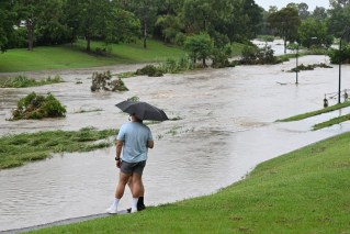
Once Kirrily crosses the coast, Queensland could be impacted by flooding for days.
The system is expected to weaken into a tropical low once more, moving further inland and south.
It is set to bring heavy rainfall to central and southern Queensland from Friday.
But the bureau said the risk of the tropical low bringing widespread rainfall to southeast Queensland had lowered on current modelling.
“That risk looks a lot lower, but in saying that there will be some some localised heavy falls with showers and storm activity at times over the weekend,” senior meteorologist Felim Hanniffy told ABC Radio Brisbane.
“They’ll be isolated in nature, but the risk of that widespread heavy to intense rainfall possible spreading south looks less likely at this stage.”
QFES Acting Commissioner Stephen Smith said a significant amount of resources had been deployed to expected impact areas.
Assistance from Victorian and NSW authorities is also on its way.
“By the end of today (Wednesday) there’ll be over 60 have moved into the Townsville and areas in that proximity,” he told the ABC.
“But through the course of the next couple of days, probably approximately another 100-odd personnel and that will be moving into that area.”
A further 120 personnel are expected to join the efforts over the weekend.
Cyclone Kirrily is the second in barely a month to threaten Queensland.
Cyclone Jasper caused record flooding that devastated the far north in mid-December before seven people died in storm-related incidents over Christmas in the southeast.
Fatigued emergency crews are set to receive interstate and Australian Defence Force support after the massive recovery effort that followed Jasper and the southeast storms.
About 500 hectares of the Gold Coast’s forests sustained severe damage while the clean-up continues on the tourist strip, with more than 21,000 tonnes of green waste removed since Boxing Day.
“So far they have cleaned up 570 streets and 215km of roads,” Gold Coast Mayor Tom Tate said.