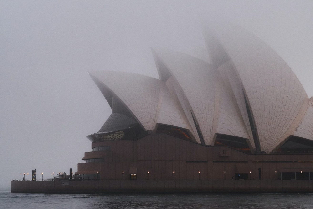
Sydney rainfall breaks records as relentless downpour pummels NSW
It’s barely April but Sydney has already passed its annual average rainfall as residents prepare for evacuations due to heavy rain and flash flooding.

NSW has been hit by repeat floods in recent months, with the Northern Rivers area devastated by two deluges within weeks while Sydney endures an almost constant drenching.
Sydney has now received more than its average annual rainfall at the Bureau of Meteorology’s Observatory Hill site in The Rocks despite it only being early April
More than 114mm fell there in the 24 hours since 9am Wednesday, taking its total for the year to 1226.8mm, above the annual average of 1213.4mm.
Authorities issued a severe weather warning on Thursday for southern and central NSW, metropolitan Sydney, the Illawarra, the South Coast, the Central and Southern Tablelands, and parts of the Hunter.
Heavy rain fell in the Illawarra, South Coast and Southern Tablelands overnight and the wet weather will extend across Sydney, the Central Tablelands and Hunter region on Thursday.
Cronulla, south of Sydney’s centre, recorded 107mm in three hours overnight.
An evacuation warning has been issued for residents in low-lying areas of Woronora and Bonnet Bay in Sydney’s south.
Numerous areas around Sydney and the Illawarra had more than 100mm in the 24 hours since 9am on Wednesday.
Significant falls were recorded around Sydney at Rose Bay (140mm), Little Bay (140mm), Belrose (117mm) and Marrickville (110mm), and further south in the Illawarra and South Coast at Darkes Forest (193mm), Macquarie Pass (184mm), Bodalla (127mm) and Nowra (125mm).
There is an increased risk of landslides, according to the BOM.
A flood watch has been issued for central NSW, with minor to moderate flooding forecast for the southern coastal rivers including the Hawkesbury-Nepean, the Macquarie and the Queanbeyan on Thursday and Friday.
On Thursday morning, emergency services warned that there could be major flooding in Liverpool and Milperra in Sydney’s west along the Georges River, with the water expected to rise above four metres in the late-afternoon high tide.
Minor flood warnings were issued for the Hawkesbury River at Windsor and North Richmond, the Cooks River at Tempe Bridge and the Woronora River at Woronora Bridge.
Liverpool Mayor Ned Mannoun told Sydney radio 2GB on Thursday there was a sense of deja vu in the area following flooding last month.
Residents are invited to pick up sandbags.
“We know what’s going to happen, we just hope it won’t get worse than last time,” Mr Mannoun said.
SES Assistant Commissioner Dean Storey said the SES had conducted 11 rescues and responded to almost 600 requests for help in the past 24 hours.
The bad weather is being driven by a strong upper trough over the centre of NSW, working to deepen another trough sitting off the coast.
The systems are expected to weaken on Friday morning.


