Dark clouds are the silver lining as nation’s southeast drenched
Who would have thought weather would be providing the good news a few months ago? The weekend’s rainfall is a welcome relief after years of drought and there could be more on the way.

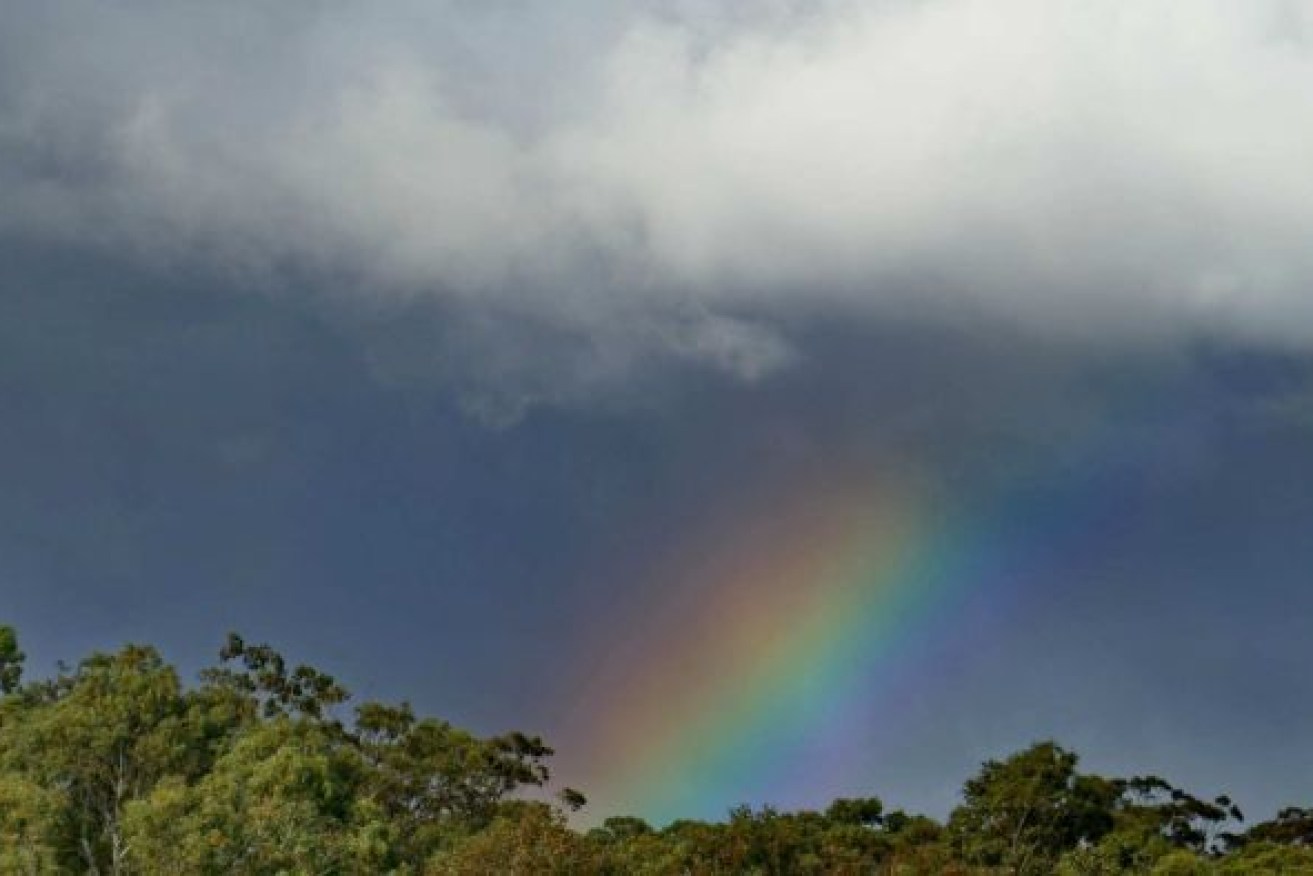
Widespread rainfall graced the nation's southeast last week, including in Broadford, Victoria, on Saturday. Photo: ABC
Welcome, heavy rainfall came to Australia’s southeast last week and into the weekend, bringing relief to communities after years of drought.
Hopefully, it won’t just be a one-off — for the first time in years, the outlook heading into winter is looking wet.
Last week’s fall came about because of a trough that brought tropical moisture and widespread rainfall to parts of South Australia, Victoria, New South Wales, and Tasmania.
“Hot on its heels we had a pretty strong cold front that followed that trough system,” the Bureau of Meteorology’s Dean Narramore said.
“It was a fairly strong system that also interacted with some tropical moisture and brought widespread showers and a much colder air mass to south-eastern parts of Australia, which led to snow falling down to around 1000 metres in parts of Victoria and Tasmania, but also widespread rainfall.”
Widespread and ‘very welcome’
The totals were impressive, especially in inland areas that missed out on the rainfall earlier in the year.
“It’s very welcome rainfall,” Narramore said.
“Not only for coastal areas, but also inland parts of New South Wales, Victoria, and even into northern parts of South Australia as well as much of Tasmania.”
Oodnadatta, in South Australia, received more rain in just a few hours on Thursday morning than it did in the whole of last year.
Narramore said many locations would have received more rain in the past few weeks than the whole of last year combined.
“In the area from around Birdsville [in Queensland] all the way through Oodnadatta, through to Burra [South Australia], and then into western New South Wales,” he said.
This year has been shaping up as especially wet in areas such as Melbourne, where the year-to-date rainfall is well above average.
This week’s forecast
The rain has cleared out from the south for now with cool, sunny weather on the forecast for the next few days.
But there is a chance of another rain-bearing system coming through towards the end of this week, although, according to Narramore, it is currently looking like it will bring less widespread rainfall than the weekend just gone.
Sadly, though, it looks like Western Australia’s southwest will miss out again.
“They’re actually looking at almost record heat,” Narramore said.
“Temperatures anywhere from 8 to 14 degrees above average.
“The mid-30s [are forecast] for the southwest, so we could see some April records fall there later this week.
“Unfortunately there is no rain really in sight for the south-west in the coming weeks.”
The rain a sign of things to come
Narramore said the latest outlook was showing pretty good odds for most of the country to receive above-average rainfall in the coming months.
It’s a welcome outlook for those who still have rainfall deficiencies despite the recent rain.
“There’s a lot of warm water around the northern and western parts of the country, ocean-wise. And that’s allowing for a little bit more moisture in the atmosphere,” Narramore said.
“So as any weather system moves through it’s interacting and pulling down some of that moisture, contributing to this widespread rainfall.”
Of course, a good outlook doesn’t guarantee rain … but fingers crossed everyone.
“So hopefully we’re going to see at least an average or even above-average rainfall in the autumn and early winter period for hopefully many parts of the country,” Narramore said.
– ABC / Kate Doyle


